We launched our Shearwater sailing canoes shortly before midnight. As we sailed out of the small haven at Hill Head I could see Ian’s white navigation light shining at the apex of the dim triangle of his sail, silhouetted against the yellow street lights of Cowes in the distance. The new moon had set some time ago and the stars were bright overhead. As I looked up I could see the Plough directly above my navigation light at the head of the mast. A light north easterly wind gently pushed us along at just over two knots towards the Bramble Bank in the middle of the Solent, whilst behind us the conversations of night anglers, along the Hill Head shore, drifted across the water. Gulls, floating on the dark calm sea and disturbed by our slow passage through the night, protested to each other.
Two weeks earlier and a bit further on into the night we’d sailed out of the same harbour into a light south westerly wind, bound for the Needles and hoping to sail round the Isle of Wight. After tacking down the north side of the West Solent for three hours, we sailed through the narrows at Hurst and then to the west of the Shingles Bank to avoid overfalls at the end of the Needles Channel. In the cold grey dawn, with the white flashing light of the channel fairway buoy in clear view and the Needles lighthouse to our left, we ran out of wind. As the tide turned inexorably and irresistibly against us we realised we’d arrived too late, so we turned tail and defeated, sailed downwind back to the Solent to stretch our legs and eat our sandwiches on Hurst Spit. Later, as we reached back to Hill Head with the tide, our spirits lifted as the sun emerged. Ashore, we concluded we should have set sail a bit earlier and might have done better if we’d have paddled through the night, keeping to the south side of the West Solent and in the stronger tide. Lessons learned, we made tentative plans for another attempt to coincide with the next spring tide.
This time, High Water Portsmouth was 24 minutes later but we’d taken the precaution of departing two hours earlier than before, to make certain we were at the Needles before the tide turned east. The forecast was for force 2 to 3 north to north easterly winds. A mile out from Hill Head, we watched two brightly lit merchant ships coming down Southampton Water and wondered whether they would turn right down the Thorn Channel or left down the North Channel towards us. The wind began to fade, so we furled our sails and assembled long twin bladed paddles. I watched Ian’s white masthead light swaying gently from side to side ahead of me as he paddled across the North Channel towards the safety of the shallow water surrounding the Bramble Bank. The ships to the west of us turned to starboard and away from us. We saw the first signs of a faint mist forming, so made sure our collision flares were to hand and stepped up the pace a little. About an hour later, after crossing another shipping channel and close to Cowes, an increasingly strong tidal stream began to push us right. Keeping a close eye on the Isle of Wight ferry, with its navigation lights showing and looking like it was about to depart from the River Medina, we turned west to pass close to the white flashing light of Gurnard Cardinal Mark and then headed for the green flashing light of Gurnard Ledge Buoy.
As we passed Egypt Point the bright lights of Cowes disappeared from view and the night darkened. A faint breeze from the north east appeared and I started sailing whilst also using a single bladed paddle for a bit of extra speed. Ian carried on paddling ‘kayak style’. I ate some jelly babies to keep my spirits and my blood sugar up. Two hours passed as we sailed and paddled through the calm water and the cold, damp, crow-black night. Paddle-sailing helped to keep the cold at bay and was easy work as I tacked to and fro in front of Ian. But I was careful to stay close in case the visibility closed in. The tide gathered pace. We passed two more green buoys and approached the lights of Yarmouth on our port bow. The Needles lighthouse foghorn made a low and mournful sound twice every thirty seconds as we sped by Yarmouth pier in the 4 knot rushing tide. Black Rock Buoy swept by with an impressive bow wave, white against the dark water. We were beginning to feel cold and tired and were about an hour early for an arrival at slack water at the Needles, so just after 03.30 we put into Colwell Bay, first on the left just after Hurst. We dragged our boats, on their small trollies, onto a shingle beach. It began to feel very cold indeed, so we climbed, fully dry-suited and booted, into sleeping bags and set the alarm for 04.45.
It felt as if I was lying awake looking at the stars overhead for some time but must have dozed off as I was woken by the alarm after the first dim light of dawn had appeared. We took advantage of a short sandy beach exposed by the falling tide, to run up and down to warm up. However, I added a sailing jacket on top of my drysuit for extra warmth.
Back in the Needles Channel, we paddle-sailed in a light north easterly towards the lighthouse. As the darkness receded, I could see from the small wake around occasional fishing buoys that it was very close to slack water and knew there were still 3 miles to go and not much time before the tide set against us. As we increased the pace, I edged ahead and tried to see what sea conditions we’d encounter at the Needles. However, Ian then called to say he was concerned the light wind would mean we’d not make the next tidal gate of Bembridge on time, which would mean an extra twelve hours before we were able to return to Hill Head in the early hours of Monday morning. Family commitments meant Ian couldn’t take this chance so he was forced to turn back. I elected to continue and hoped the sun would bring the wind.
I sailed past the lighthouse shortly before 6. Almost a year before, we’d been here in bright sunshine and no wind and paddled through a gap between the Needles. But today a strong swell from the south was breaking through the opening. I carried on towards the cardinal mark at the end of the underwater ridge, called the Bridge, extending to the west of the Needles. The wind began to pick up and the tide, now just beginning to tumble over the Bridge in the early flood, made short steep confused waves. Shortly before the Bridge cardinal mark, I turned towards the south west and moved my weight aft to stop ‘Astrid’s’ bow from burying itself as we overtook a short succession of large waves.
A freshening wind prompted me to take in a couple of reefs (by rolling the sail around the mast). I settled into a close reach on a course of approximately 115°. The chalk cliffs of the island shore curved round from my left towards the bow and somewhere in the distance ahead of me, beneath the rising sun and hidden by a slight sea mist, lay St Catherine’s Point at the southern tip of the Island. As I passed south of Freshwater Bay, where I’d landed a year ago to portage north to the River Yar, the east-going tidal stream gathered pace and I was now fully committed to sailing round the south side of the Island. There was no way back until the tide changed and there would likely be too much surf to land on any of the beaches before St Catherine’s. A group of Shearwaters floating on the waves burst into flight as I sailed by breakfasting on brie and tomato sandwiches. The wind slackened and I unrolled the reefs.
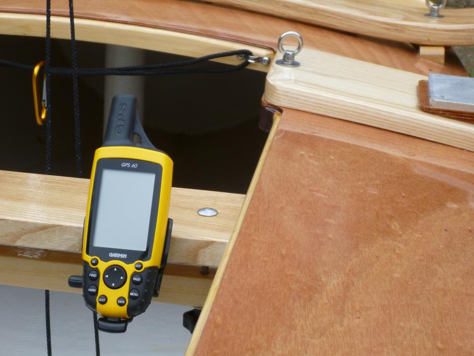
St Catherine’s Race, south of the point, has a deserved reputation for heavy overfalls and large broken waves, especially when spring tides set against strong winds. I had the spring tide but was hoping the now force 3 wind would not kick up too much of a sea. I planned to follow the recommendation of Mark Rainsley’s excellent ‘South West Sea Kayaking’ guide which says most of the race can be avoided by keeping close inshore but, as I closed on the point, I started to see that the long swell coming from the south was breaking heavily on Atherfield Ledges with windblown spray, back-lit by the sun, curling back seawards behind the breakers. I was concerned that passing close to St Catherine’s Point, where the charted depth is less than 5 metres for at least 2 cables to the south, might put me amongst the breakers. By now, the tide was sweeping me eastwards towards the race at 3 knots and it was too late to pass south of the race extending 2 miles offshore, so I had no option but to head straight for it. Speed across the ground, according to the GPS, was touching 8 knots at times. In preparation for the rough water ahead, I opened the self-bailer, moved my position in the boat aft, and freed off slightly to maintain good boat speed.
Ahead were isolated breaking waves, sparkling white in the sunshine and half a mile to my left, the squat white tower of St Catherine’s lighthouse on top of a short cliff. I wished I could have taken some photographs at this point but I needed both hands for the boat as we began to crash through short steep confused waves, some almost reaching head height. One particularly large wave swept over the foredeck and washed into the boat, leaving four inches of water in the cockpit. We sailed on through several patches of rough seas, tacking a few times before reaching calmer water and passing the seaside town of Ventnor perched on the cliffs of the south east side of the Island. As I’d hoped, the start of a sea breeze had caused the wind to veer and I was able to steer 035° on a close reach towards the next turning point of Bembridge.
As I sailed across Sandown Bay the wind grew light and I wondered whether I’d make it to Bembridge before the tide turned against me. If not, I would have to wait almost 12 hours for the last of the next flood tide and then the beginnings of the next ebb to take me east back to Hill Head. Sea water had found its way into my provisions dry-bag which had been floating around in the boat during the St Catherine’s race interlude. I jettisoned my remaining salty soggy sandwiches, ate a couple of cereal bars, drank some water and started paddle-sailing. After the fast passage from the Needles to St Catherine’s, progress seemed slow. The day became warmer. In the distance, ahead of me, I could see an anchored ship. Sometime later I passed close to what turned out to be an anchored liquefied natural gas tanker facing into the last of the south west-going tide. The high chalk cliffs of Culver Down, at the northern end of Sandown Bay, slowly passed by. Eventually, almost 2 hours after Ventnor, I drew level with Bembridge. As I turned the corner into the Solent at around 11.30, my progress past a sea front hotel slowed to a snail’s pace as the ebb tide gathered speed. Due to one of the many peculiarities of the Solent tides, I still had a mile to go against the tidal flow before I reached the safety of the west-going stream. I redoubled my paddling efforts, inched past the Bembridge lighthouse station on stilts and then kept close to the shore to cheat the tide.
After another half hour of paddling in the hot sunshine I passed inshore of St Helens Fort and was able to relax as a force 2 breeze from the south east pushed me homeward and the direction of the tide started to go in my favour. Very warm after all the paddling, I locked off the tiller extension and swapped my dry suit and thermal layers for tee shirt and shorts as I passed Bembridge Harbour and then Seaview. Lack of attention caused me to accidently gybe, but fortunately no harm resulted. Soon after, I passed the Ryde Pier and the town’s sandy beach. To my right I could see the Spinnaker Tower rising high above Portsmouth Harbour.
As I steered toward Lee on Solent across the deep water channel I took care to give east-going shipping a wide berth. On the VHF I heard the pilot of the coastguard helicopter ask permission to land a crewman on the aft deck of a merchant ship, as an exercise. I took a few photos as they passed on my port side.
Through binoculars, it soon became possible to discern the masts of yachts at Hill Head. Soon after, I furled the sail and paddled through the narrow haven entrance. Shortly before 3 pm, just over 15 hours and 54 nautical miles since our departure of the night before, I landed on the stone slipway just inside the small harbour.
Footnotes
Ian had made the valuable suggestion that if I were serious about sailing around the UK I try an Isle of Wight of circumnavigation as a trial run – on the basis that the distance was twice what I hope to average per day later this summer and because the combination of the tides and sea conditions around the Isle of Wight can present a varied series of challenges. As it was the range of wind and sea conditions, varying from a long period of calm and hardly any wind to heavy seas and force 4 gusting 5 winds, was a good test of my abilities and the capabilities of a sea worthy sailing canoe. I am now feeling a bit more confident about a longer voyage.
Solway Dory are building me a specially designed version of their Shearwater sailing canoe – lighter, with a longer crowned foredeck to shed waves, and also with occasionally sleeping aboard in mind.
British Summer Time started on the night of the voyage. For simplicity, all times in this account are GMT.
For an account of a sea kayak Isle of Wight circumnavigation following a similar route but in a more relaxed fashion see; http://solentkayakpages.blogspot.co.uk/search/label/St%20Catherines%20Point .
Or for an excellent cruising dinghy guide to the Solent see; http://www.solentsoundings.org/files/The_Solent_-_Cruising_Guide_for_Cb_Boats_-_by_Cliff_Martin.pdf .
For more about Shearwater Sailing Canoes and sailing canoes in general see; http://www.solwaydory.co.uk/ and http://www.ocsg.org.uk/ .
